Grade & Inclination Mapping

Using Pitch & Roll Sensor And 3D GeoSense XYZ Mapping

Large Inspection Robot
Robotic Tractor with Integrated Pitch & Roll Sensors

Inclinometer Grade Mapping

R&R Visual provides complete pipe inclination and grade mapping for horizontal pipelines. Using robotic tractors with highly sensitive pitch and roll sensors, we are able to capture and plot the grade of a pipeline. This information can be valuable for acceptance of new construction or simply find issues that may be causing failure on our existing infrastructure. Inclination mapping is a fast and economical method during the normal video inspection process.

Precise Data Output

  • Tilt Resolution – 0.1%
  • Tilt Range – +/-12.5%
  • Measuring Error – Nf = 0.2%, equiv. to 2mm/m
  • Tilt Definition – N = (H2-H1) : (S2-S1) : = difference in height : difference in length
Inclinometer Graph

3D GeoSense Mapping in XYZ 3D Space

R&R Visual offers mapping of pipeline of all diameters using 3D GeoSense. As the camera moves through the pipeline, the three dimensional coordinates are streamed to our mapping software. The data can be integrated to your GIS data or used by other applications. Perfect addition for cross bore projects!

Not only can our technicians map the grade of the pipe, but also the pipe’s left to right movement, all while plotting in real-time in a 3D space.

Safer digging and safer horizontal boring!

3D Geosense

Frequently Asked Questions

The robotic tractor has a built-in, high accuracy pitch and roll sensor. For inclinometer grade mapping the technician is relying on the pitch sensor. The robot is first calibrated on a complete level surface ensuring the reading is reset to zero. As the robot travels through the pipe segment it sends back 4 readings (degrees of tilt)per second. These readings are used to generate a graph depicting the grade of the pipe.

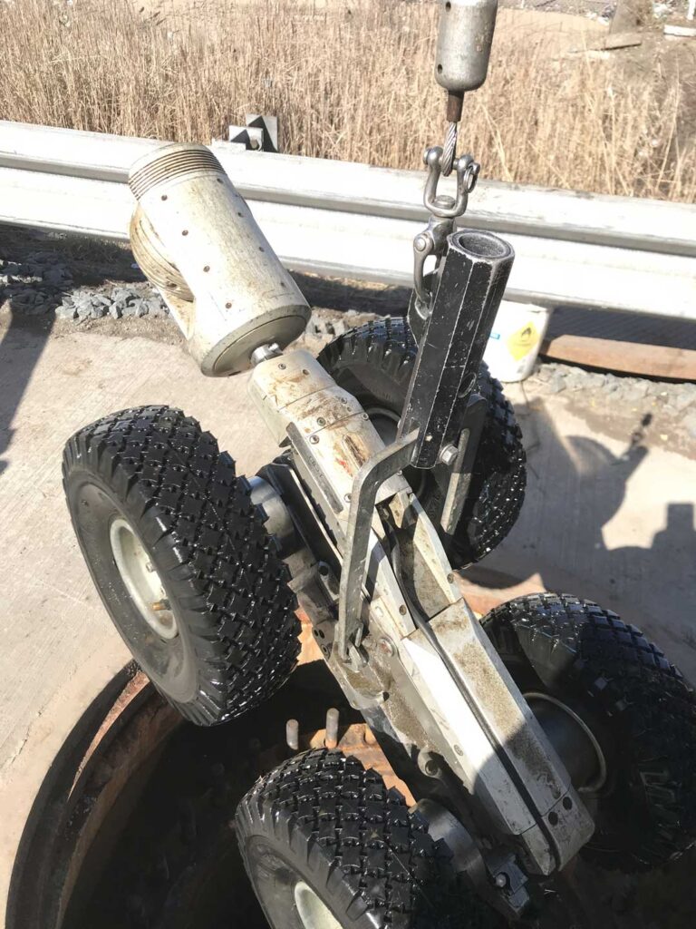
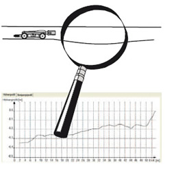
Generally the answer is no. The  tilt readings collected are used to generate the grade maps. To calculate depth of the pipe, each reading is added the the previous reading. If the robot drives over a joint, or even a small rock, this could throw off the cumulative reading, making depth predictions unreliable.

3D GeoSense uses twin, high precision accelerometers to measure the movement in a 3D space.